Cataloochee Valley
Great Smoky Mountains National Park
107 Park Headquarters Road
Gatlinburg, TN 37738
(865) 436-1200

Great Smoky Mountains National Park encompasses 800 square miles of land and 95 percent of it is forested. In the park, the Appalachian Trail follows the ridges between the states of North Carolina and Tennessee, and it crosses the highest point on the entire Trail at Clingmans Dome at 6,643 feet. The Smokies get more annual visitors than any other National Park in the U.S., but surprisingly most people never see the backcountry which has some of the most pristine wilderness in the Southeast.
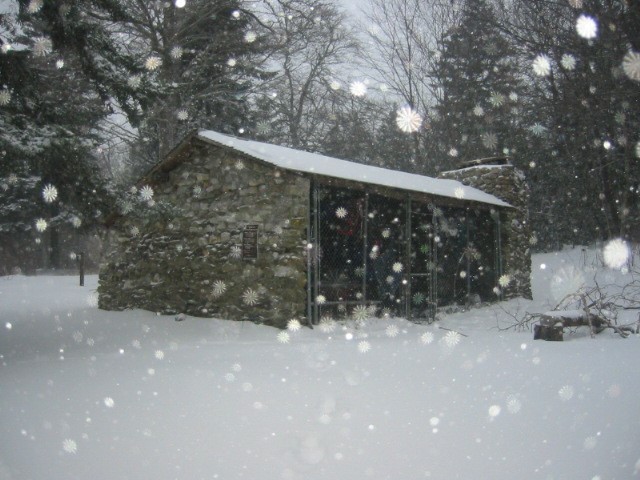
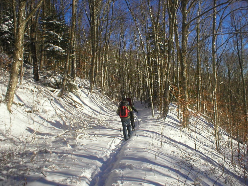
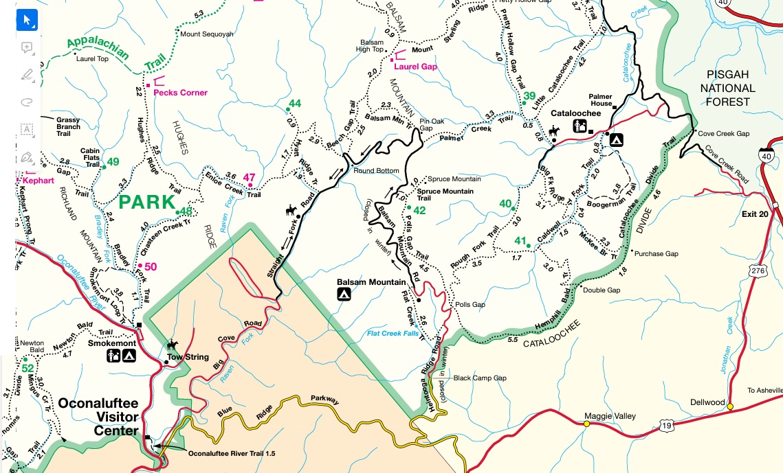
This loop hike starts at the Pretty Hollow Gap trailhead 1.3 miles from the end of the Cataloochee Road at a site called Nellie (near a restored early 1900’s schoolhouse). The route climbs the Pretty Hollow Gap trail to the Mount Sterling Ridge and follows this trail east toward Laurel Gap Shelter. Here it picks up the Balsam Mountain Trail and follows it down to the Balsam Mountain Road for a lengthy road walk to the Balsam Mountain Campground (since the Polls Gap Trail is temporarily closed.) From the Campground, the route descends to Polls Gap and picks up the Rough Fork Trail that descends back to the terminus of the Cataloochee Road and wide open area that occasionally has elk or wild turkeys wandering in the field. In the last few miles of this thirty mile route, there are some historic homesteads (including the S.L. Woody house which sits on Rough Fork Creek).
- click to watch a video slideshow from our three day winter hike in the Smokies: January 13, 2006 (password required)
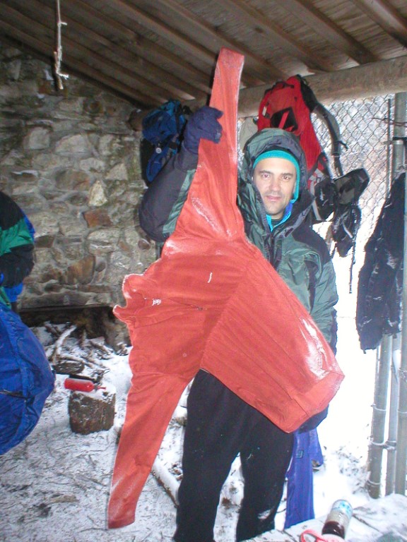
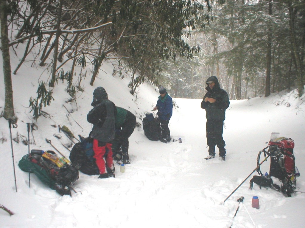
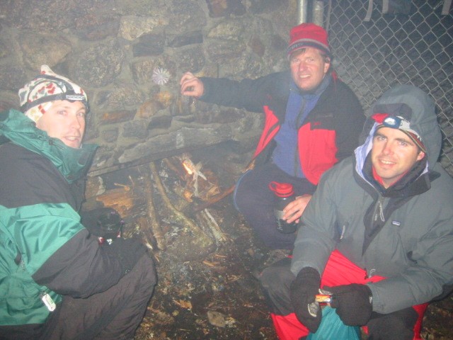
- click to see trail photos from this hike in the Great Smoky Mountains National Park: January 13, 2006
- click to read a trip report of this hike around the Cataloochee Valley: January 13, 2006 (password required)
- click to purchase a Trails Illustrated map of Great Smoky Mountains National Park
- click for a road and facilities map of Great Smoky Mountains National Park
- click for a trail map of Great Smoky Mountain National Park
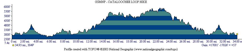
- click for a topographical and profile map of this backpacking trip in the Cataloochee Valley
- click for day one, day two, and day three of this hike on the southeast side of the Smokies
- click for a map of some other trails in the Great Smoky Mountains National Park
- click to see a list of all our Klondike hikes that date back to the late 90’s (password required)
- click for access to the guidebook Trail By Trail: Backpacking In The Smoky Mountains which has details on this destination
- click for other North Carolina hiking and backpacking books