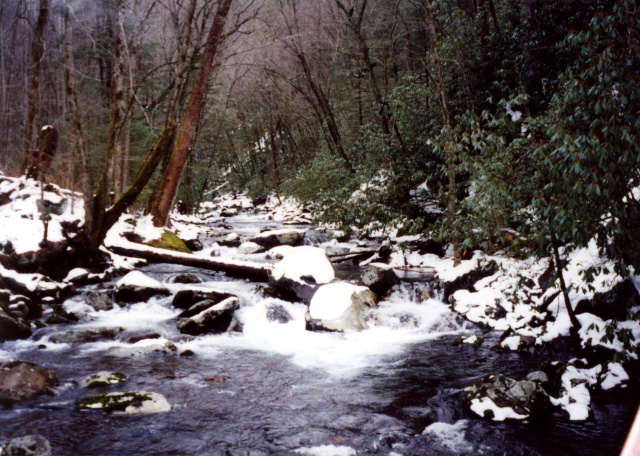
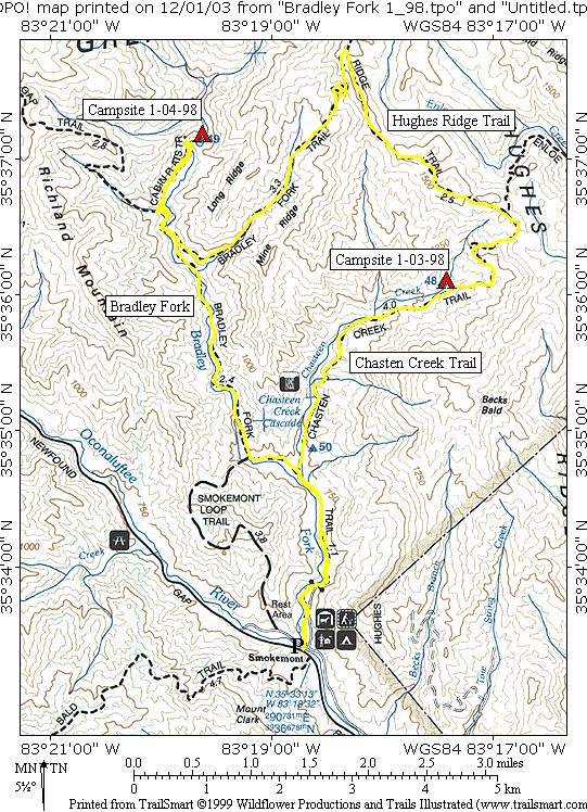
Bradley Fork
Great Smoky Mountains National Park
107 Park Headquarters Road
Gatlinburg, TN 37738
(865) 436-1200
Great Smoky Mountains National Park encompasses 800 square miles of land and 95 percent of it is forested. In the park, the Appalachian Trail follows the ridges between the states of North Carolina and Tennessee, and it crosses the highest point on the entire Trail at Clingmans Dome at 6,643 feet. The Smokies get more annual visitors than any other National Park in the U.S., but surprisingly most people never see the backcountry which has some of the most pristine wilderness in the Southeast.
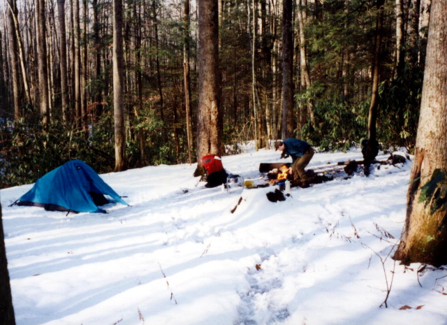
This loop hike is on the western side of an area known as Hughes Ridge near Smokemont Campground. It starts around 2500 feet, climbs the ridge to roughly 5000 feet, and descends back to the campground following both the Chasteen Creek and Bradley Fork drainages.
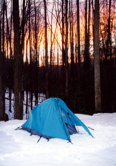
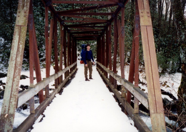
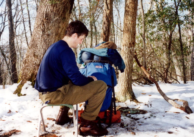
- click to see trail photos from this hike in Great Smoky Mountain National Park: January 3, 1998
- click to view a detailed trip report of this backpacking trip to Bradley Fork: January 3, 1998 (password required)
- click to read a daytimer report of this hike along Chasteen Creek: January 3, 1998 (password required)
- click to purchase a Trails Illustrated map of Great Smoky Mountains National Park
- click for a road and facilities map of Great Smoky Mountains National Park
- click for a trail map of Great Smoky Mountain National Park
- click for a topographical and profile map of this hike along the Bradley Fork (password required)
- click for another route that our group did in this area in February 2008 and January 2014
- click for a map of some other trails hiked in this area in the Great Smoky Mountains National Park
- click to see a list of all our Klondike hikes that date back to the late 90’s (password required)
- click for access to the guidebook Trail By Trail: Backpacking In The Smoky Mountains which has details on this destination
- click for other North Carolina hiking and backpacking books