Oxbo Trail (via Waller Park)
Location: North Central Georgia
Trip Starts: Waller Park
Trip Ends: Waller Park
Total Distance: 1.7 miles
Hike Type: Roundtrip, Loop Hike
Hike Difficulty: Easy
Trails Used: Oxbo Trail
Trail Traffic: Moderate
Trip Type: Day Hike
More Information:
City of Roswell
Recreation and Parks
38 Hill Street
Roswell, GA 30075
770-641-3727

Highlights:
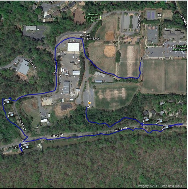
The Oxbo Trail runs between Waller and Grimes Bridge Parks with an extension that follows Waller Creek for about a mile. It has a mix of dirt, paved, and crushed stone trails and can be accessed from either park or from a parking area along Grimes Bridge Road.
A bridge separates the Oxbo Trail from the Vickery Creek Trail system (which is managed by the National Park Service), so a longer hiking option is available if you join the two trail systems. Be sure to check out the waterfall along Oxbo Road. It’s impressive from the bridge but easiest to see in the winter months.
More Details:
- click to read a trip report from this day hike on the Oxbo Trail: September 13, 2011 (password required)
- click for a park and trail map for the City of Roswell
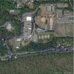
- click for a trail and profile map of a short loop on the Oxbo Trail
- click for a trail and profile map for a longer loop on the Oxbo Trail
- click for another hike on this trail near Grimes Bridge Park in 2010
- click for a summer hike on the Oxbo Trail in July 2012
- click to access the guidebook Best Hikes Near Atlanta which has more hikes around the City of Atlanta
- click to access the guidebook Hiking Georgia which has more hikes and backpacking trips in the State of Georgia
- click for other Georgia hiking and backpacking books
Photos:


Maps:


GPS Coordinates: